The Khmer civilisation centred on Angkor created one of the largest and most sophisticated urban landscapes of the premodern world. Between the ninth and fifteenth centuries, its rulers raised temple mountains, redirected water across an immense inhabited region, fought Cham and neighbouring powers, and turned kingship into something visible in stone.
Angkor Wat is its most famous monument, but it was never the whole story. The Angkorian world included reservoirs, canals, rice fields, roads, hospitals, shrines, wooden houses, workshops and many thousands of people whose names were not carved into royal inscriptions. Its history was also far less tidy than the conventional dates of 802 and 1431 suggest.
Personally, I find Angkor most compelling when we stop treating it as a collection of photogenic ruins and recognise it as a living political landscape. The temples were extraordinary, certainly, but somebody still had to organise the rice, maintain the roads and persuade an elephant to cooperate in battle. Civilisation is usually held together by rather more administration than poets care to admit.
Khmer Dynasty at a Glance
| Detail | Summary |
|---|---|
| Conventional beginning | 802, associated with Jayavarman II |
| Political centre | The Angkor region in north-western Cambodia |
| Other royal centres | Hariharalaya, Koh Ker and several earlier or regional capitals |
| Major rulers | Jayavarman II, Indravarman I, Yasovarman I, Suryavarman I, Suryavarman II and Jayavarman VII |
| Major monuments | Bakong, Phnom Bakheng, Banteay Srei, Baphuon, Angkor Wat, Bayon, Ta Prohm and Preah Khan |
| Principal religions | Forms of Hinduism, Mahayana Buddhism and later Theravada Buddhism |
| Main economic base | Wet-rice agriculture, taxation, temple estates, craft production and regional trade |
| Important enemies and rivals | Champa, Đại Việt and Thai-speaking polities including Ayutthaya |
| Conventional end | 1431, following an Ayutthayan attack on Angkor |
What Was the Khmer Empire?
The state commonly called the Khmer Empire was a succession of Khmer kingdoms ruled from Angkor and other royal centres. Modern historians use the term “empire” because Angkorian kings claimed authority over extensive territories, received tribute, installed officials, built roads and temples far beyond the capital, and repeatedly campaigned across mainland Southeast Asia.
That does not mean every village from modern Cambodia to Thailand, Laos and Vietnam obeyed Angkor in the same way. Royal power was strongest around strategic centres, river routes, temples and productive rice-growing zones. More distant rulers might pay tribute, enter marriage alliances or acknowledge a Khmer monarch when circumstances made it sensible. Medieval political maps were often flexible things. Borders behaved less like inked lines and more like arguments.
The heartland lay north of the Tonlé Sap, close to the Kulen hills and the modern city of Siem Reap. The region offered fertile land, seasonal water and access to routes connecting Cambodia with the Mekong basin, the coast and neighbouring states.
Why 802 Marks the Beginning
The year 802 is traditionally used as the opening of the Angkorian period. It is associated with Jayavarman II, who is said to have performed a ceremony on Mahendraparvata, usually identified with Phnom Kulen, declaring Cambodia independent from “Java” and establishing the cult of the devarāja.
There are important cautions. The fullest account comes from the Sdok Kak Thom inscription, composed in 1052, roughly 250 years after the event. “Java” may refer to an overseas Javanese power, but scholars have debated its precise meaning. The devarāja has also been interpreted in different ways. It may describe a royal cult focused on a sacred linga and the sovereignty of the king, rather than a simple claim that the king himself was literally a god.
Jayavarman II did not create Khmer society from nothing. Earlier states, often grouped under the Chinese names Funan and Chenla, had already developed centres of power, trade connections, Sanskrit learning and Indian-influenced religious traditions. His achievement was political consolidation. He linked territories and elite networks into a kingship from which later Angkorian rulers traced legitimacy.
The First Capitals and the Rise of Angkor
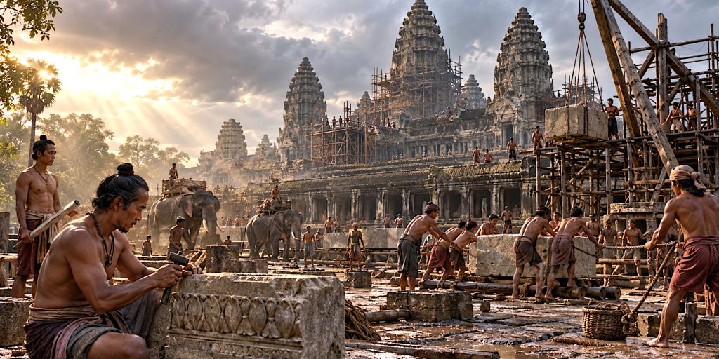
Jayavarman II moved between several centres during his long reign. His successors established themselves at Hariharalaya, in the Roluos region south-east of the later city of Angkor.
Indravarman I, who ruled from 877 to 889, built the temple of Preah Ko, the pyramid temple of Bakong and the Indratataka reservoir. These projects expressed royal devotion, honoured ancestors and demonstrated control over labour and resources. They also established architectural forms that later rulers enlarged with almost competitive enthusiasm.
Yasovarman I shifted the royal centre towards Angkor around the end of the ninth century. His state temple, Phnom Bakheng, rose on a natural hill at the centre of Yasodharapura. The city was organised as a sacred landscape reflecting ideas of Mount Meru, the cosmic mountain of Hindu tradition.
The capital did not remain one fixed, walled city. Successive kings constructed new temples, palaces, reservoirs and urban enclosures. Angkor grew as a broad, low-density urban region, tied together by infrastructure rather than packed within a single defensive wall.
How Khmer Kingship Worked
Angkorian kings presented themselves as universal rulers who protected order, supported religion and connected the human realm with the divine. Their authority depended on ritual, genealogy, military success, land, labour and the support of powerful families.
Royal inscriptions were composed mainly in Sanskrit and Old Khmer. Sanskrit passages praised kings and gods in polished language. Old Khmer sections often recorded land, workers, goods and obligations. The contrast is revealing. One side promised cosmic majesty; the other kept the accounts.
Succession was not reliably hereditary from father to eldest son. Brothers, nephews, sons-in-law and rival claimants competed for the throne. Some kings gained power through force and then strengthened their position through temple foundations, marriages and claims of distinguished ancestry.
Women from elite families could be politically and religiously influential. Queens and princesses endowed temples, held property and connected rival lines through marriage. Inscriptions also name learned women, including the celebrated Indradevi, wife of Jayavarman VII, who was associated with Buddhist education and religious foundations.
The Great Rulers of Angkor
Jayavarman II
Jayavarman II, conventionally dated from 802 to around 835, became the remembered founder of Angkorian sovereignty. We know frustratingly little about him from contemporary evidence. His reputation rests largely on later inscriptions, which makes him both essential and slightly elusive, a familiar condition for founders everywhere.
Indravarman I
Indravarman I developed Hariharalaya into a monumental royal centre. Bakong was the first major sandstone temple mountain of the Angkorian tradition, while Preah Ko linked kingship with the royal ancestors. His reservoir displayed the capacity of the court to reshape the landscape.
Yasovarman I
Yasovarman I founded Yasodharapura in the Angkor region and established Phnom Bakheng as his state temple. He also sponsored monasteries dedicated to different religious traditions, suggesting that royal patronage could be broad even when a ruler had a preferred cult.
Suryavarman I
Suryavarman I seized the throne early in the eleventh century after a prolonged struggle. He expanded royal influence westward and strengthened administrative control. His reign is associated with major works including the West Baray, although the dating and stages of Angkor’s water projects remain subjects of study.
Udayadityavarman II
Udayadityavarman II built the Baphuon, a vast temple mountain dedicated to Shiva. Its scale says a great deal about royal ambition and rather less about sensible limits. The temple was later converted for Buddhist use and has required one of the most complex restoration projects at Angkor.
Suryavarman II
Suryavarman II, who ruled in the early twelfth century, commissioned Angkor Wat. Unlike most Angkorian state temples, it faces west, a feature variously connected with Vishnu, funerary symbolism or both. Its bas-reliefs portray mythology, court ceremony and warfare, including the king reviewing a large army.
Suryavarman campaigned against Đại Việt and Champa, though not always successfully. His reign shows that monumental success did not guarantee easy military victories. Stone is more obedient than neighbouring kingdoms.
Jayavarman VII
Jayavarman VII came to power after a period of crisis and the Cham occupation of Angkor. Crowned in 1181, he launched campaigns against Champa and built on a scale that transformed the capital.
His walled city of Angkor Thom was centred on the Bayon, whose towers bear monumental faces. He founded Ta Prohm in honour of his mother and Preah Khan in honour of his father. Inscriptions also credit his reign with roads, rest houses and hospitals across the kingdom.
Jayavarman VII promoted Mahayana Buddhism and presented kingship through compassion as well as conquest. Yet his programme demanded enormous resources. Piety and state power were not separate departments.
Angkor Wat and the Temple Landscape
Angkor Wat was built in the first half of the twelfth century as Suryavarman II’s state temple and was dedicated primarily to Vishnu. Its towers represent Mount Meru, while galleries, courtyards and moat create a carefully ordered sacred world.
The temple’s bas-reliefs include scenes from the Mahabharata and Ramayana, the Churning of the Ocean of Milk, heavens and hells, and the historical procession of Suryavarman II. They are religious narratives, political statements and extraordinary works of observation. Soldiers carry spears, bows, shields and swords; officers stand on elephants; foreign troops are distinguished by dress and hair.
Angkor was filled with other major monuments. Banteay Srei is admired for exceptionally fine carving. Ta Keo presents a severe unfinished pyramid. The Baphuon embodied eleventh-century royal Shaivism. Ta Prohm and Preah Khan combined temple, monastery, estate and memorial functions. The Bayon placed royal Buddhist imagery at the centre of Angkor Thom.
These buildings changed after construction. Hindu images were recut, Buddhist figures were added or erased, and shrines acquired new uses. Angkorian religion was not preserved in a display case. It was revised by people who had their own convictions, and occasionally their own chisels.
Religion and the Sacred Order
Angkorian religion drew on local traditions and ideas transmitted from South Asia over many centuries. Rulers patronised Shiva, Vishnu and the Buddha at different times, while ancestor worship and protective spirits remained important.
Shaivism held a central place in much of the early and middle Angkorian period. The linga represented Shiva and could also express royal authority. Vaishnavism received magnificent expression at Angkor Wat. Under Jayavarman VII, Mahayana Buddhist imagery became prominent, particularly the compassionate bodhisattva Avalokiteshvara.
Jayavarman VIII, ruling later in the thirteenth century, restored a strongly Shaivite court and oversaw or permitted the destruction and alteration of many Buddhist images. Meanwhile, Theravada Buddhism spread through Cambodia. By the fourteenth century it had become increasingly influential.
Theravada practice was less dependent on enormous royal temple foundations. Its growth may have changed the relationship between court, monastery and population, but it should not be treated as a simple cause of imperial decline. Religions do not topple cities merely by arriving with different robes.
The City, Water and Rice
Archaeological surveys and airborne laser scanning have revealed an extensive urban network around Angkor. People lived among rice fields, ponds, occupation mounds, shrines and roads across a vast area. Much domestic architecture was built from timber and thatch, so the stone temples survive far more visibly than ordinary homes.
Water infrastructure included huge barays, moats, canals, embankments, spillways and local ponds. This network stored, diverted and managed seasonal water. It supported settlement, reduced flood risk in some areas, carried political and religious meaning, and may have assisted agriculture.
Older descriptions sometimes presented Angkor as a perfectly controlled “hydraulic city” whose reservoirs irrigated every field. Current interpretations are more careful. The system had multiple functions, and not every component operated in the same way or at the same time.
Rice sustained the population and supported the court, temples and army. Temple inscriptions list fields, livestock, food supplies and workers. Angkor’s prosperity also depended on forest products, fisheries, metalwork, ceramics and trade. The Tonlé Sap, with its immense seasonal fishery, was an especially valuable source of food.
Daily Life at Angkor
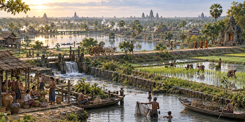
The most vivid written description comes from Zhou Daguan, a Chinese envoy who stayed at Angkor in 1296 and 1297. His account discusses houses, markets, clothing, festivals, agriculture, justice and court ceremony. It is invaluable, although it carries the assumptions and occasional bewilderment of an outsider.
Most houses were raised on posts and constructed from perishable materials. Elite residences and the royal palace also relied heavily on wood, even when temples were made from brick, laterite and sandstone.
Markets appear to have been strongly associated with women traders. Zhou described women conducting commerce and noted everyday products, food and textiles. Inscriptions likewise reveal women as donors, workers, dancers, religious specialists and members of powerful families.
Temple estates employed or received the service of large communities. Inscriptions name priests, dancers, cooks, guards, farmers and craft workers. Some people were attached through forms of hereditary obligation or dependency. The beauty of Angkor rested on organised labour, and some of that labour was certainly not freely chosen.
Khmer Armies and Warfare
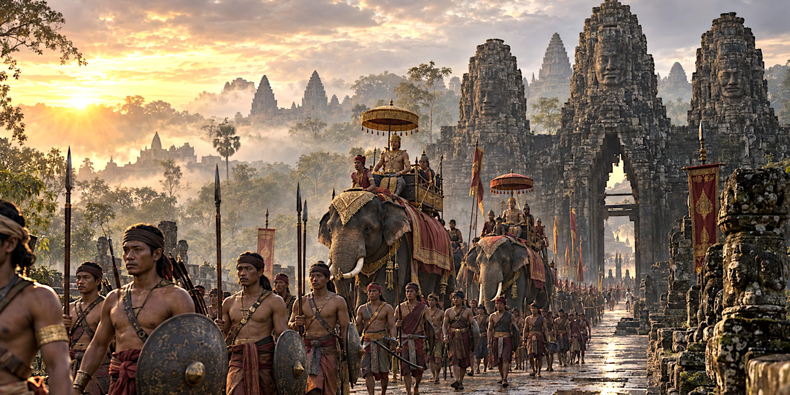
The Khmer state used warfare to secure succession, collect tribute, defend the capital and expand influence. Its armies combined infantry, elephant corps, cavalry and river or lake forces.
Bas-reliefs at Angkor Wat, the Bayon and Banteay Chhmar provide the richest visual evidence. They show ordered columns but also confused close combat, boats crowded with fighters, commanders on elephants and infantry advancing with a broad assortment of weapons.
Infantry
Infantry formed the bulk of most armies. Soldiers carried long spears, bows, shields and edged weapons. Armour appears limited in many reliefs, although officers and elite fighters sometimes wear protective garments or elaborate equipment. Organic armour may also have disappeared from the archaeological record.
Elephants and Cavalry
War elephants gave commanders height, mobility and considerable psychological presence. They could disrupt formations and carry archers or officers, but they required training, food and careful handling. An alarmed elephant was a strategic problem with legs.
Horses were used by cavalry and messengers. The environment and supply requirements probably limited their role compared with armies from drier regions, but mounted troops remained valuable for movement and pursuit.
Swords, Spears and Bows
Reliefs depict straight and slightly curved blades, often used one-handed. Surviving bronze and iron finds, regional comparison and imagery help reconstruct Khmer weapons, though exact classifications should be approached cautiously. Spears were practical battlefield weapons because of their reach and relative simplicity. Bows appear in both infantry and mounted contexts.
Shields were commonly round or oval in artistic depictions. Some troops carried long rectangular shields. Equipment varied across Khmer, Cham and allied contingents, and relief artists used visual distinctions to identify different groups.
Naval Warfare
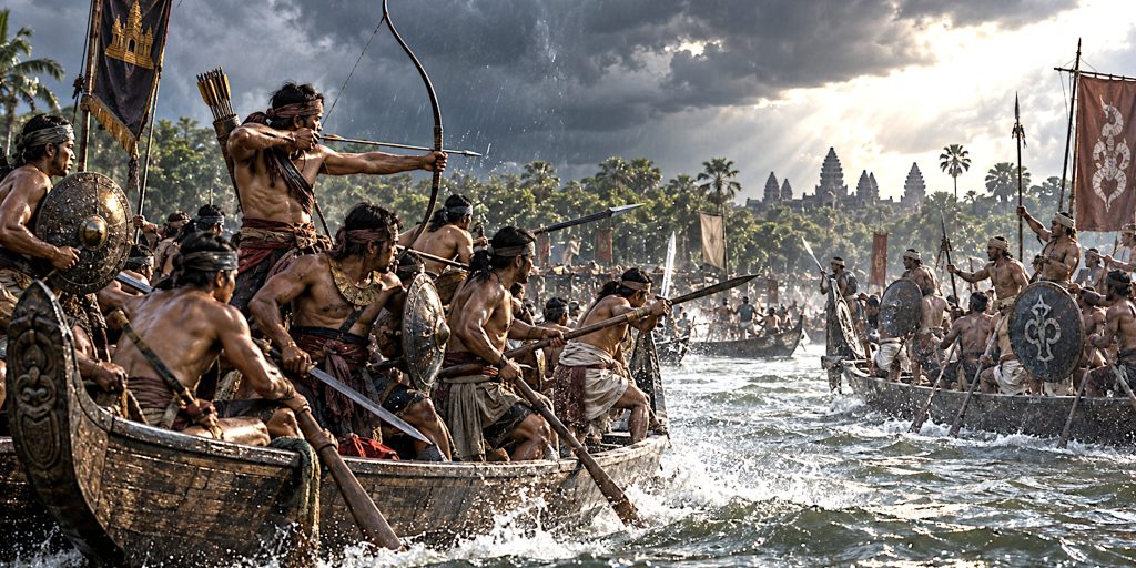
Waterways were essential to movement and war. Bayon reliefs famously show battles between Khmer and Cham forces in long vessels. Fighters use bows, spears and close-combat weapons while the boats manoeuvre through crowded water. Fish and crocodiles appear below, because medieval artists occasionally understood that military history benefits from an unimpressed animal in the foreground.
Conflict with Champa
Relations between Angkor and Champa included warfare, diplomacy, trade and marriage. Neither side was a single, permanently unified bloc throughout the period.
In 1177, Cham forces attacked Angkor, apparently reaching the capital by water. The event became central to the later royal presentation of Jayavarman VII, who led the Khmer recovery and was crowned in 1181.
Khmer campaigns subsequently pushed into Champa. Jayavarman VII attempted to control Cham territory through allied or dependent rulers, but occupation proved difficult to sustain. The wars strengthened his claim as a restorer of order while placing heavy demands on the state.
The Bayon reliefs are often read as records of these conflicts. They are precious evidence, but they remain royal art rather than neutral battlefield reporting. Kings have rarely commissioned monuments to explain why the supply arrangements went badly.
Roads, Hospitals and Imperial Reach
Angkor was connected to provincial centres by raised roads, bridges and rest houses. Routes extended towards Phimai in modern Thailand, Preah Vihear, Vat Phou in modern Laos and other important sites.
Jayavarman VII’s inscriptions refer to 121 rest houses and 102 hospitals. The exact organisation and reach of these institutions remain debated, but they demonstrate a royal ideal in which the ruler relieved suffering and made his authority present across the landscape.
Stone bridges survive along several Angkorian roads. Their corbelled arches and robust piers carried traffic across monsoon waterways. Roads helped armies and officials move, but they also circulated traders, pilgrims, information and cultural practices.
Angkor’s influence can be seen in architecture, inscriptions and religious art across mainland Southeast Asia. Influence did not always mean direct government. Local rulers adopted Khmer titles and styles because these forms carried prestige, not necessarily because an official from Angkor was peering over every shoulder.
Trade and Foreign Connections
Angkor participated in regional networks linking the South China Sea, the Mekong basin, the Malay world, India and China. Chinese ceramics found at Angkor reveal imported goods, while Khmer stoneware travelled within the region.
The court sent embassies to China and received foreign visitors. Sanskrit connected Khmer elites to a broad intellectual and religious world, while local Old Khmer remained essential to administration. Artistic ideas arrived from abroad but were adapted into distinctly Khmer forms.
By the fourteenth and fifteenth centuries, expanding maritime trade may have favoured political centres closer to the Mekong and coast. This helps explain the gradual shift of royal attention southwards. Angkor was powerful because of its inland agricultural landscape, but commercial geography was changing around it.
Why Angkor Declined
There was no single cause, and any account offering one should be treated with the same caution as a court inscription praising an undefeated king.
Warfare and Ayutthaya
Thai-speaking powers grew to the west. Ayutthaya emerged as a formidable kingdom in the fourteenth century and fought Angkor repeatedly. The traditional date of 1431 refers to an Ayutthayan siege or capture of Angkor. Later chronicles describe the event, but the evidence is not detailed enough to reconstruct it with complete confidence.
Climate Stress
Tree-ring and sediment research indicates prolonged droughts in the fourteenth and early fifteenth centuries, interrupted by intense monsoon years. Angkor’s water network had been modified over generations and may have become vulnerable to both water shortage and destructive flooding. Channels eroded, sediment accumulated and infrastructure suffered damage.
Climate did not “kill” Angkor by itself. It placed pressure on a large and complicated system during a period of political and economic change.
Changing Trade
Greater participation in maritime commerce encouraged a movement of political power towards southern Cambodia and the Mekong corridor. A court based nearer these routes could deal more effectively with regional trade.
Religious and Social Change
The spread of Theravada Buddhism altered patterns of patronage and community organisation. Monumental temple building declined. Yet religious change should be seen as part of a wider transformation rather than a destructive force acting alone.
Infrastructure and Political Fragmentation
Maintaining Angkor’s roads, reservoirs, canals, temples and administrative networks required labour and stable authority. Succession disputes, external wars and shifting alliances made that task harder. Systems designed over centuries can become resilient in some ways and inconveniently fragile in others.
Did Angkor Fall in 1431?
1431 is useful shorthand, but it can mislead. The royal court increasingly moved south, eventually centring power around locations such as Phnom Penh and Longvek. Angkor lost its status as the principal capital, but it was not simply abandoned.
Communities remained in the region. Angkor Wat continued as a religious site and became an important centre of Theravada Buddhist worship. Inscriptions and modifications show continued activity in later centuries. Cambodian royalty also returned to Angkor at various points.
The image of a city swallowed whole by jungle owes much to colonial-era storytelling. Vegetation did overtake many structures, but local people knew the temples, used them and preserved traditions connected with them. European visitors did not “discover” Angkor. They encountered a place Cambodians had never forgotten.
Archaeology and What We Are Still Learning
Angkor has been studied through inscriptions, architectural analysis, excavation, environmental sampling, aerial photography, satellite imagery and lidar scanning. Each method sees a different part of the past.
Lidar has been especially important because it can map ground forms beneath forest cover. It revealed neighbourhoods, ponds, embankments, roads and field systems that transformed the understanding of Angkor from isolated monuments into an inhabited urban landscape.
Archaeologists have found occupation mounds, ceramics, industrial sites and evidence for changes in water management. Excavations at Angkor Thom and other locations are refining the chronology of settlement and decline.
Large questions remain. Population estimates vary considerably. The functions of particular water features are debated. Scholars continue to examine how authority worked in distant provinces, how ordinary households lived and how quickly different parts of Angkor changed after the fourteenth century.
That uncertainty is not a weakness. It is what honest history looks like when the evidence is magnificent, incomplete and occasionally determined to sit underneath several metres of tropical soil.
A Short Timeline of Angkor
| Date | Event |
|---|---|
| 802 | Traditional date for Jayavarman II’s sovereignty ceremony |
| Late ninth century | Indravarman I develops Hariharalaya and builds Bakong |
| Around 900 | Yasovarman I establishes Yasodharapura in the Angkor region |
| 928 to 944 | Jayavarman IV rules from Koh Ker |
| 1006 to 1050 | Suryavarman I consolidates and expands royal power |
| Mid-eleventh century | Baphuon constructed under Udayadityavarman II |
| Early twelfth century | Suryavarman II commissions Angkor Wat |
| 1177 | Cham forces attack and occupy Angkor |
| 1181 | Jayavarman VII is crowned |
| Late twelfth to early thirteenth century | Angkor Thom, Bayon, Ta Prohm and Preah Khan developed |
| 1296 to 1297 | Zhou Daguan visits Angkor |
| Fourteenth century | Theravada Buddhism expands and royal monumental construction declines |
| Fourteenth to fifteenth centuries | Severe climatic instability affects the region |
| 1431 | Traditional date of Ayutthaya’s capture of Angkor |
What the Khmer Dynasty Left Behind
The Angkorian state shaped Cambodian language, art, religion, royal tradition and historical identity. Angkor Wat appears on Cambodia’s national flag and remains an active sacred site as well as a global monument.
Its architecture influenced temples across Southeast Asia. Its road and water systems reveal engineering on a landscape scale. Its inscriptions preserve political claims but also thousands of smaller details about work, land, ritual and obligation.
There is a temptation to admire Angkor only through superlatives: largest, greatest, most astonishing. Those words are not entirely undeserved, but they can flatten the people who made the place. Angkor was built by rulers with immense ambitions and by workers, farmers, craftspeople, religious communities and families who sustained those ambitions over generations.
For me, that is the real achievement. The towers are unforgettable, but the civilisation existed in the relationships between stone, water, rice and human labour. Angkor did not appear by magic, and it did not disappear in a single dramatic afternoon. Its history is longer, messier and far more interesting than that.
Frequently Asked Questions
Who founded the Khmer Empire at Angkor?
Jayavarman II is traditionally regarded as its founder. A later inscription associates him with a sovereignty ceremony in 802, although Khmer political and cultural development began centuries earlier.
Was Angkor the largest city in the medieval world?
Angkor was among the world’s largest premodern urban complexes by area. It was a low-density settlement spread across a huge landscape rather than a tightly packed city, so comparisons based on population remain uncertain.
Why was Angkor Wat built?
Suryavarman II built Angkor Wat in the twelfth century as a royal state temple dedicated primarily to Vishnu. It probably also had a funerary or memorial association with the king.
What weapons did Khmer soldiers use?
Khmer forces used spears, bows, shields, swords and other edged weapons. Armies also deployed cavalry, war elephants and fighting boats.
What caused the fall of Angkor?
The decline resulted from several pressures, including war with Ayutthaya, climatic extremes, damage to water infrastructure, changing trade routes, religious change and political reorganisation.
Was Angkor abandoned after 1431?
No. The royal and political centre shifted south, but people continued to live in the region. Angkor Wat remained an active religious site and the wider landscape was never wholly forgotten.
Sources and Further Reading
- UNESCO World Heritage Centre, Angkor
- APSARA National Authority, research and conservation publications on the Angkor Archaeological Park
- Zhou Daguan, A Record of Cambodia: The Land and Its People
- Michael D. Coe and Damian Evans, Angkor and the Khmer Civilization
- Charles Higham, The Civilization of Angkor
- David Chandler, A History of Cambodia
- Damian Evans and colleagues, “A Comprehensive Archaeological Map of the World’s Largest Preindustrial Settlement Complex at Angkor, Cambodia,” Proceedings of the National Academy of Sciences
- Brendan Buckley and colleagues, “Climate as a Contributing Factor in the Demise of Angkor, Cambodia,” Proceedings of the National Academy of Sciences
- Roland Fletcher and colleagues, research on Angkor’s urban and water-management systems