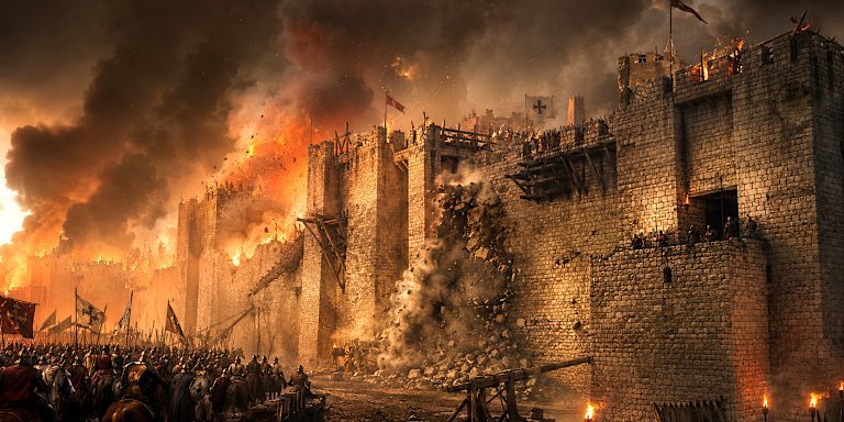
The rediscovery of lost or forgotten battlefields is a complex task that blends history, archaeology, and cutting-edge technology. These sites, often obscured by centuries of landscape change and human development, require more than a simple excavation. The science behind finding them involves meticulous research, careful surveying, and an increasingly sophisticated array of tools and methods.
Historical Records and Geographic Clues
The search usually begins with written sources. Chronicles, letters, military orders, and even poetry can contain clues, though they are rarely precise. Many historical texts exaggerate or distort geography and numbers, making them unreliable as standalone evidence. Instead, researchers use these accounts alongside place names, folklore, and topographic features that may preserve a memory of the event.
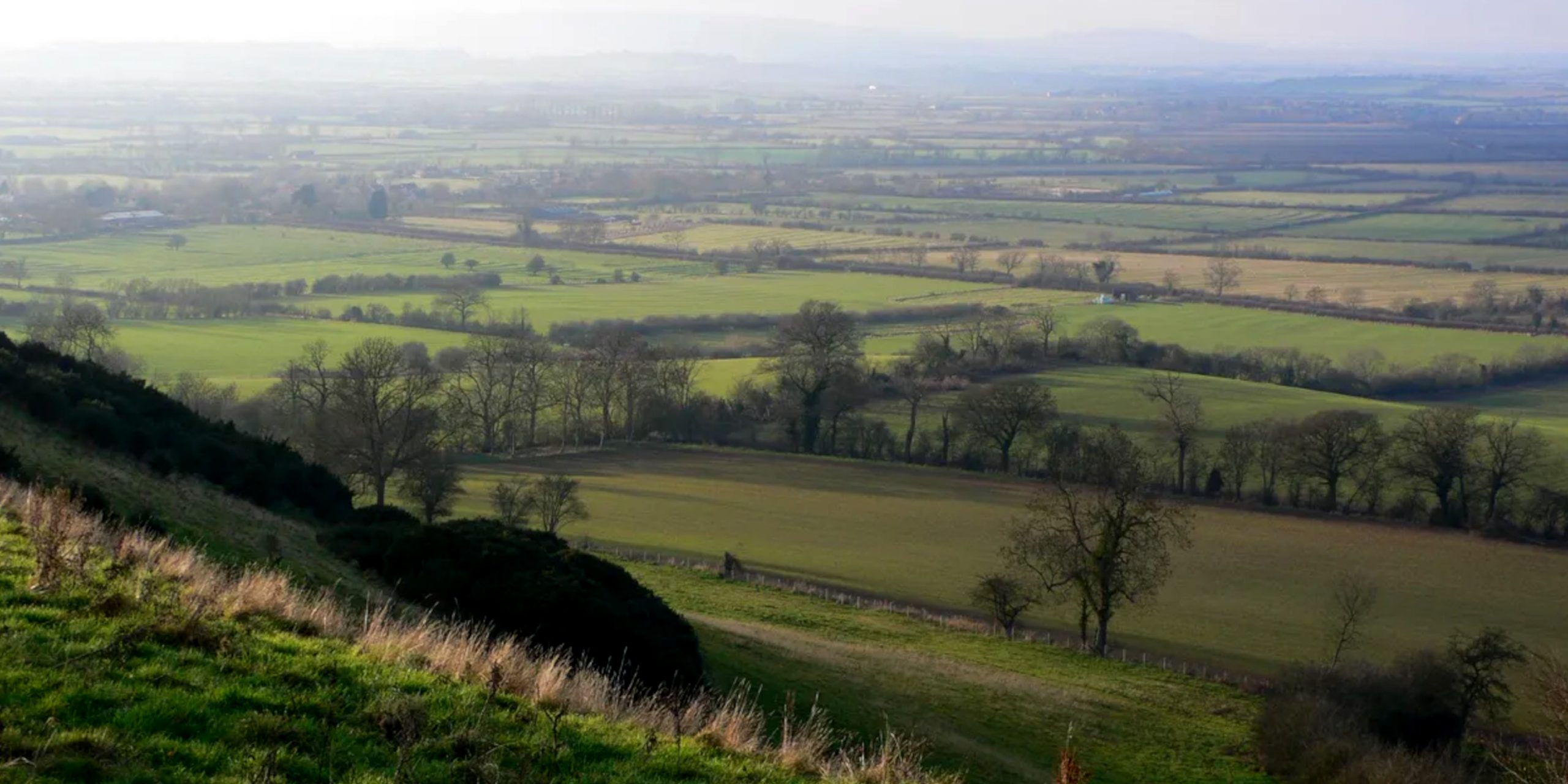
In Britain, for instance, names ending in “field” or “slaughter” can point to past conflicts, though not all are accurate. Understanding the military logic of the period also helps: armies needed flat land, access to water, and roads or trackways to move large bodies of troops. By combining documentary research with geographic analysis, archaeologists create hypotheses about where a battle might have occurred.
Landscape Archaeology and Surveying
The next step is reading the landscape. Changes in soil colouration, vegetation patterns, and topography may indicate buried structures or mass graves. Aerial photography and satellite imagery can reveal subtle crop marks or ground disturbances invisible from the surface.
Fieldwalking is still a valuable method. Volunteers and archaeologists systematically comb likely areas, looking for artefacts such as buckles, arrowheads, or musket balls. These finds are mapped to identify concentrations that may indicate the heart of the fighting.
Geophysics and Remote Sensing
Geophysical techniques are critical in battlefield archaeology. Ground Penetrating Radar (GPR) can detect buried anomalies, including pits, ditches, and dense concentrations of metal. Magnetometry is useful for identifying large metallic objects and fire-affected features, such as burned buildings or weapon deposits. Electrical resistance surveys help map subsurface features by detecting variations in moisture content, which can outline trenches, walls, or graves.
LIDAR (Light Detection and Ranging) has revolutionised the search for lost battlefields. By firing laser pulses from aircraft and measuring their return, LIDAR creates detailed 3D maps of the ground surface, even through tree cover. Subtle depressions or ridges left by long-gone earthworks or fortifications become visible.
Artefact Typology and Spatial Analysis
Finding objects is only part of the story. What they are, how they are distributed, and where they are found in relation to each other offers crucial insights. Weapons, for instance, can reveal not only a time period but also the types of troops present. Crossbow bolts, cannonballs, or fragments of swords help archaeologists identify the composition of forces.
By plotting the distribution of finds using GIS (Geographic Information Systems), researchers can reconstruct the likely lines of engagement. High-density clusters might indicate the main clash, while lighter scatter could show a retreat or pursuit. These patterns are cross-referenced with written sources to either confirm or challenge traditional assumptions.
Environmental and Forensic Evidence
Pollen analysis, soil chemistry, and microscopic studies can all contribute. Changes in soil composition might indicate where bodies decomposed. Phosphate levels often rise in places associated with human or animal remains. Forensic methods such as isotopic analysis of skeletons, if found, can reveal where individuals came from and how they lived, fought, or died.
In some cases, such as the mass graves at Towton or Visby, careful osteological analysis has uncovered detailed information about wounds, weapon strikes, and even execution after battle. This human element adds a sobering reality to the dry data and maps.
Challenges and Ongoing Work
Despite technological advances, battlefield archaeology faces significant challenges. Many sites have been built over, ploughed, or otherwise disturbed. Metal detecting, both legal and illegal, has removed artefacts from their contexts. And without precise dating, finds from different periods can complicate the interpretation.
Still, as techniques improve and collaboration between historians, archaeologists, and local communities deepens, more forgotten battlefields are being brought back into historical memory. Each site offers a window into the past that, once uncovered, changes not only how we view individual battles but how we understand the societies that fought them.
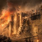
Watch: Have we found the lost battlefield of Brunanburh?